WTAS: Maryland Democrats Gerrymandering Power Grab “Preposterously Partisan”


Leaders and political observers across the country are calling out Maryland Democrats in the legislature for their attempts to reject non-partisan maps drawn by citizens and to pass the most extreme gerrymandered congressional map in America.
Here’s what they are saying about this blatant partisan power grab:
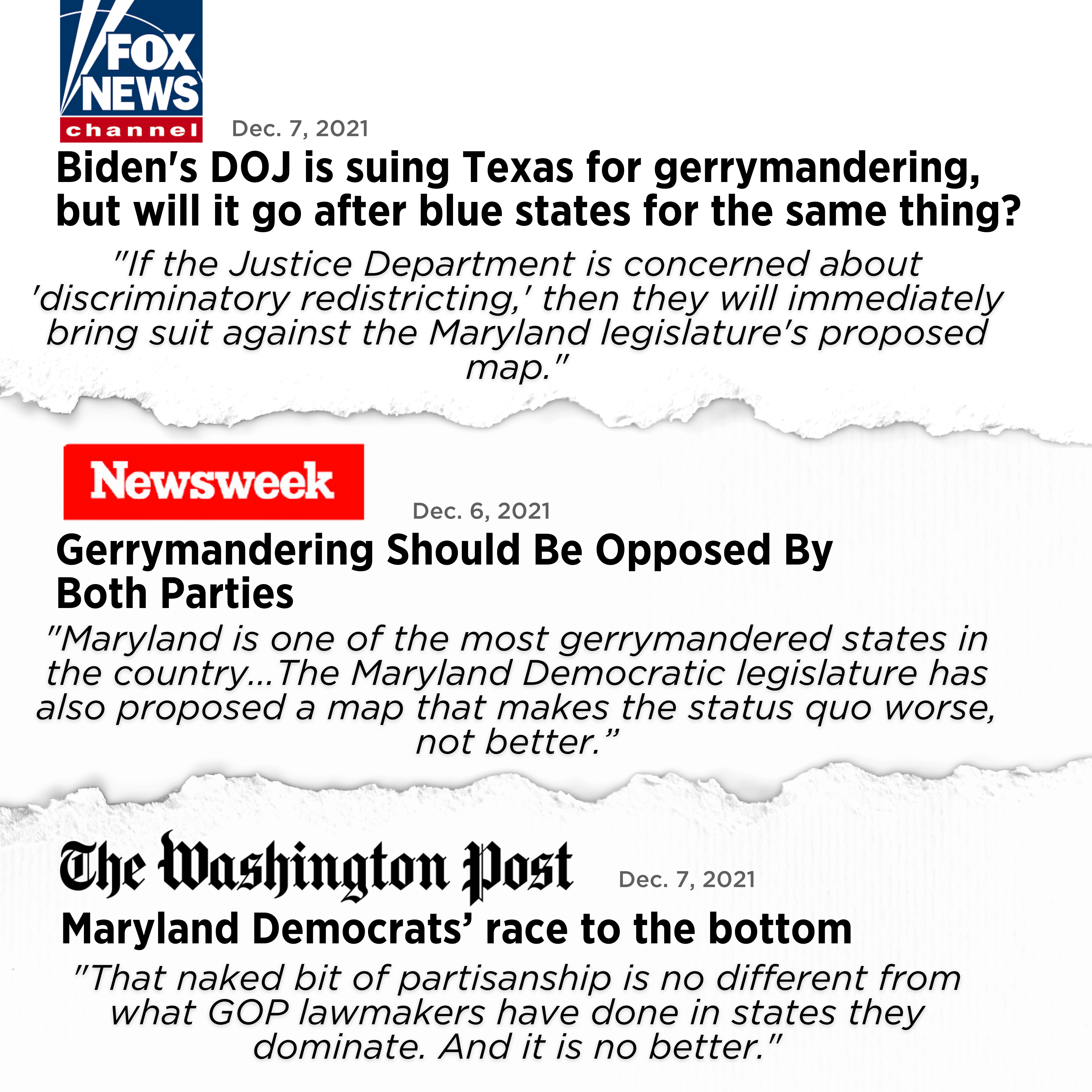
**Washington Post Editorial: **“For Democrats who control Maryland’s legislature, that inconvenient fact, coupled with brazen Republican gerrymandering in states the GOP controls, seems to have only stiffened their resolve to lock in their advantage by gerrymandering the electoral map, already among the most preposterously partisan in the country. Heedless of public opinion and the recommendations of a citizens commission, Democratic lawmakers in Annapolis appear determined to draw congressional districts even more tilted in their favor than the ones they established 10 years ago…That naked bit of partisanship is no different from what GOP lawmakers have done in states they dominate. And it is no better.”
General Wesley Clark: “Maryland will soon determine whether to become the next state to remove partisan politics from the redistricting process or whether to go further down the road of extreme gerrymandering. While Maryland Gov. Larry Hogan has ceded his power to draw redistricting maps to a nonpartisan and independent commission of citizens that has drawn fair and competitive maps, the legislature’s panel of politicians has proposed making some of the worst-in-the-nation gerrymandered maps even more unfair and uncompetitive.”
**Senator Joe Lieberman: **“The Maryland Democratic legislature has also proposed a map that makes the status quo worse, not better. A recent analysis from Princeton University’s non-partisan Gerrymandering Project gave the Maryland Democratic legislature’s map a failing grade based on its partisan un-fairness. In contrast, the maps from the non-partisan Citizens’ Commission received an ‘A.”
**FOX News: **“But Texas is not nearly the only state to split up voters in minority-heavy cities for seemingly political purposes. Maryland’s and Illinois’ maps do essentially the same thing. In the Maryland legislature’s final proposed map, Baltimore City is split into three different congressional districts that reach far out into the state’s suburbs and rural areas.”
**Daily Caller: **“A number of Maryland and national Democrats have come out against partisan gerrymandering, and yet the maps advanced to the legislature by Democrats for 2022 would create an 8-0 advantage in districts for their party in a state where the Republican governor has one of the highest approval ratings in America.”
_Washington Post: _“Mileah Kromer, director the Sarah T. Hughes Center for Politics at Goucher College, said voters have consistently expressed in polls a preference for political boundaries to be drawn by an independent commission, instead of politicians.”